Around New Zealands SOUTH ISLAND by Motorcycle
| Next
to South Africa, New Zealand is the country that I've visited most frequently.
South Island has an ever-changing topography, one of the most equitable
climates on the planet, and the pleasures of four seasons. For the most
part it's without the extremes of heat and/or cold that residents of
most other countries endure. There can be devastating earthquakes, but
compared with the damage caused annually by the Canadian winter, I think
New Zealand comes out the winner. I especially love South Island's huge
range of earthscapes - rolling farmland, the Southern Alps, the arid
Otago, incredibly varied coasts, and roads that seem to have been designed
for year-round motorcycling. From the thousands of photographs I made on my three 15-day motorcycle trips around New Zealand's South Island, I can only show you a few - some selected from each trip - and I have to ignore altogether the other thousands of images made when I've been travelling by car either alone or with a friend. Then there's the question of how to arrange the pictures I've chosen. My first thought was to take you on a circuit, one you can easily follow on a map, but that didn't work well because of the images I'd picked. So I finally decided just to arrange the pictures in as natural a visual flow as I could achieve. I hope you'll enjoy your ride and all you see. |
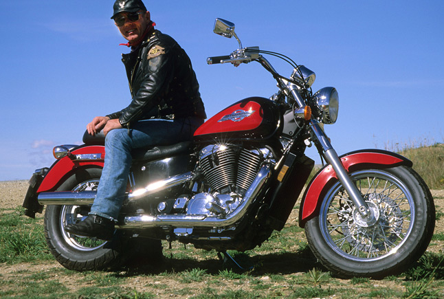
Come on, let's go |
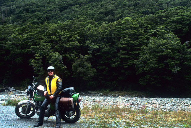
We're Off! |
Feeling the wind |

Between Fairlie and Geraldine |
Near Geraldine |

Near Ngatamoti |

|
North of Geraldine |
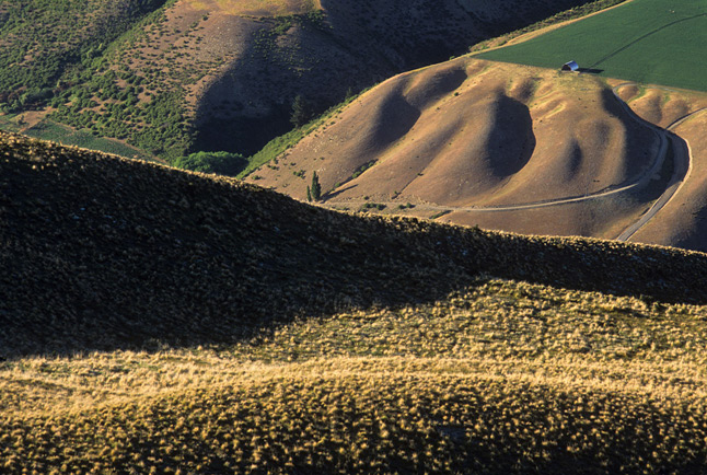
Marven Hills, south of Lindis Pass |

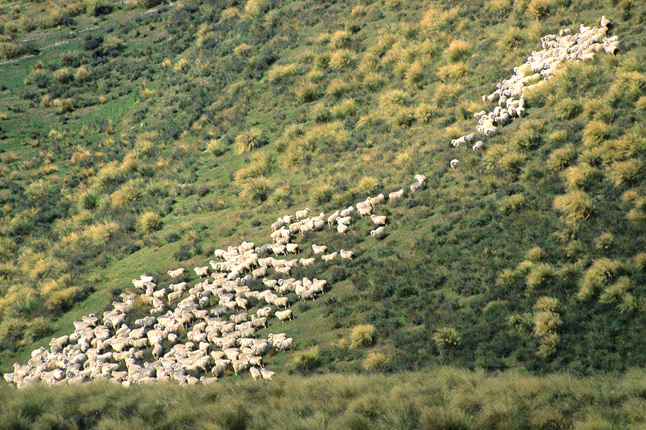
Raggedy Range between Ophir and Poolburn |

Lindis River near Tarras |
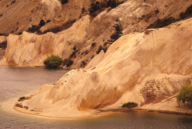
St. Bathans |
Viper's Bugloss along roadside, top of Lindis Pass |

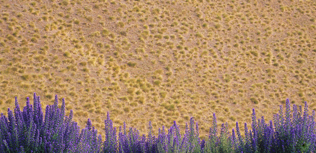
Field of borage, Kerow |
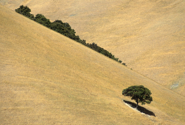
near Omarama |
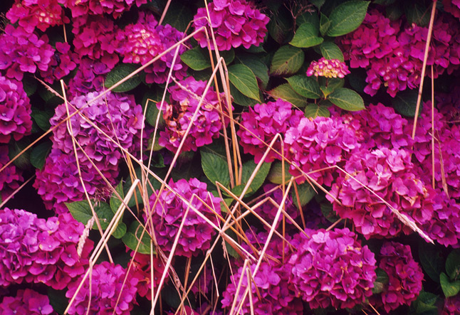
Hydrangea, ditch near Hari-Hari |
In a Christchurch garden |
Montbretia/Crocosmia near Ross |
Typical roadside embankment along west coast road between Fox Glacier and Kakapotahi |
A pause somewhere in the Haast Pass |
north of Haast |
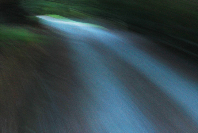
Dawn ride along highway south of Westland National Park |
Dawn ride along main west coast highway |
|
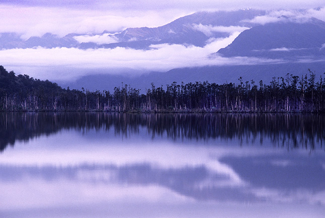
Westland National Park, south of Fox Glacier |

Westland National Park, south of Fox Glacier |
|
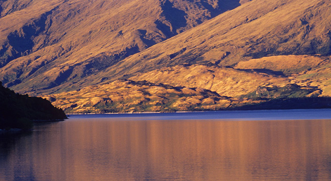
Lake Wanaka at sunset |
|
Evening Light, Lake Wanaka |
|
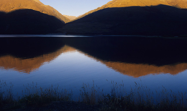
Evening light, The Neck (between Lake Wanaka and Lake Hawea) |
|
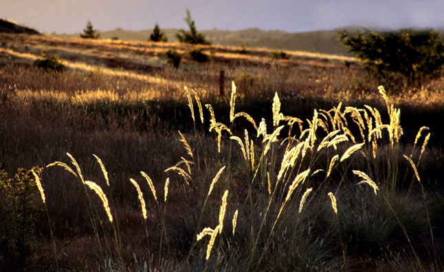
Roadside grasses, Lindis Valley |
|
south of Seddon |
|
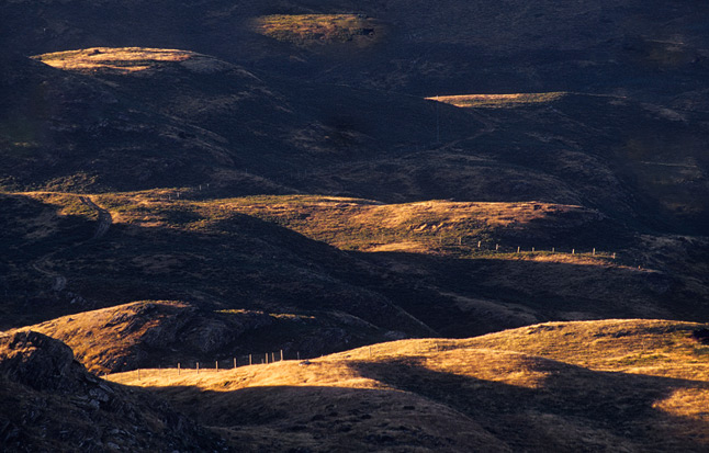
Looking south from the Crown Range, south of Cardrona |
|
Frosty morning, beginning of road to Skippers |
|
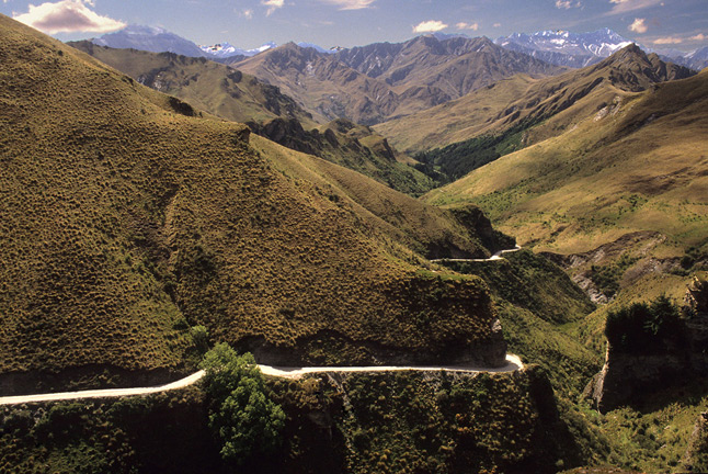
The road to Skippers |
|
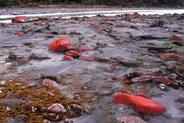
Red lichen on rocks, Waiho River, near Franz Josef |

|
|
|
North of Runanga, west coast |

|
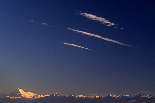
Aoraki/Mt. Cook at first light, looking across Lake Pukaki |
|
Aoraki/Mt. Cook and range, an hour after sunrise |
|
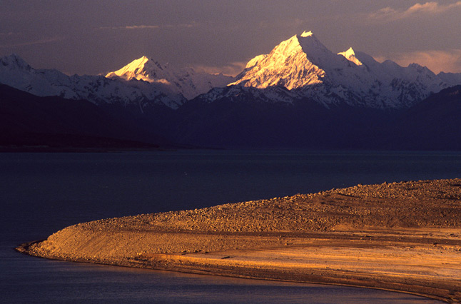
Evening light, Aoraki/Mt. Cook and Lake Pukaki |
|
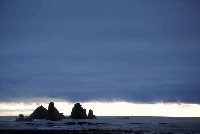
Punakiki beach area |
Farewll Spit |
East of Arthur's Pass |

East of Arthur's Pass |
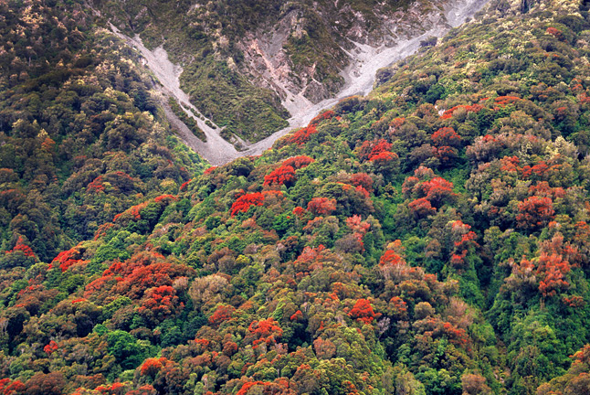
Rata blooming, west of Arthur's Pass |
East of Arthur's Pass (If only he'd been riding a motorcycle!) |
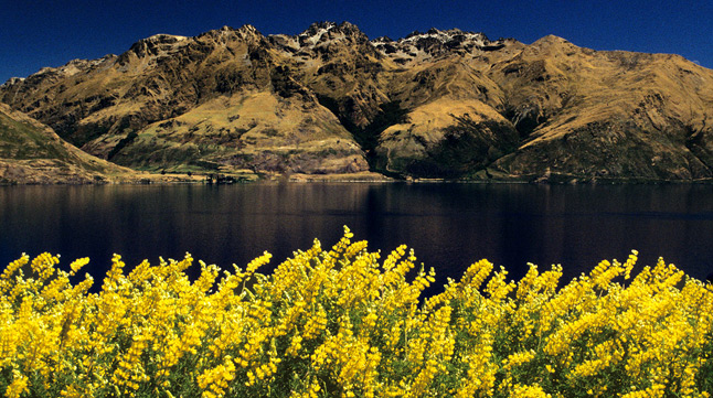
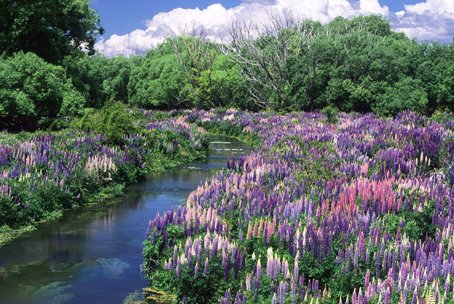
Wild yellow lupins near Queenstown |
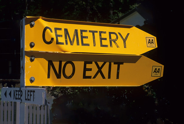
Guidance from the AA in Nasby |
Images and Photographs © 2019 Freeman Patterson - All Rights Reserved.